Aerial Documents
Aerial Drone Photography
3D Project Modeling
Aerial Drone Video
Drone Mapping
Inspections
Aerial Documents
End-to-end unmanned aerial drone solutions for your project or business needs
See Prices at Bottom of Page
Aerial Drone Service Provider
Aerial Documents is a Texas based drone service provider. We are FAA licensed, insured and use UAV aerial drones to provide professional aerial photography, aerial video production and drone survey mapping services for projects of all sizes and topography.
Aerial Documents aims to help you and your business gain the full value and benefit of using extremely versatile and flexible aerial drone platforms by delivering high-end aerial imaging, sensing and processing technologies that are best suited to your needs.
We provide our clients with a cost-effective, rapid turnaround, minimal impact aerial photography, video capture and aerial mapping/ 3D modeling service.
Aerial Documents Partners With
Aerial Documents uses the best available software solutions from DroneDeploy, DJI, TensorFlight, Adobe, Apple, Microsoft and Google for autonomous flight mapping, drone flight logging and enterprise data management systems allowing you access to the huge benefits of aerial imaging cost-effectively and hassle free.
Aerial Drone Mapping & 3D Modeling
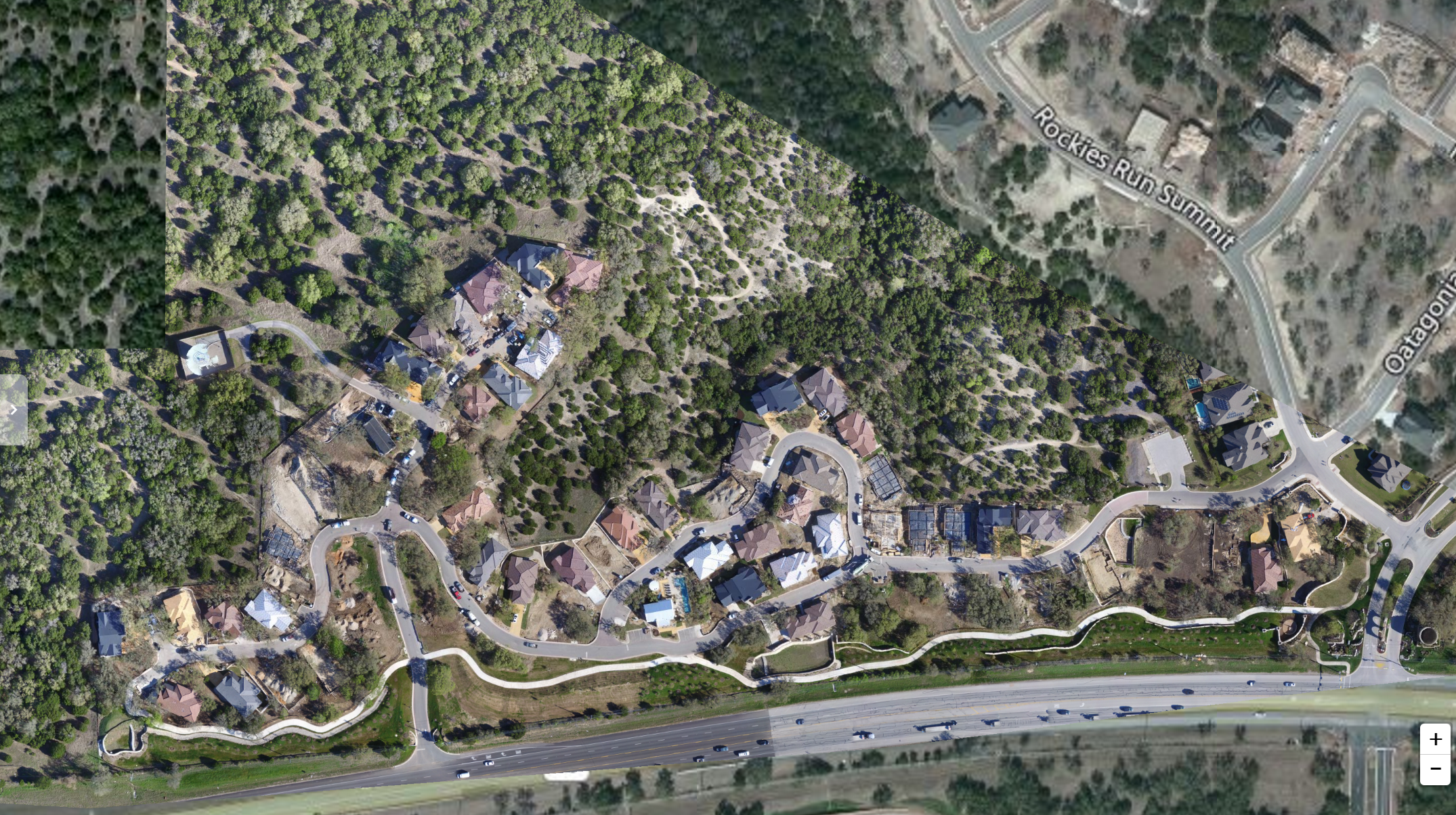
Our aerial mapping services/solutions provide stakeholders access to high resolution multi format GIS data for further visualization, analysis and interpretation purposes all with in 24 hr.
Cost effective geospatial services & solutions including 3D modeling for planning, decision-making, design and
visualization purposes.

